
Routes along the river
PESCANTINA - DOLCÈ
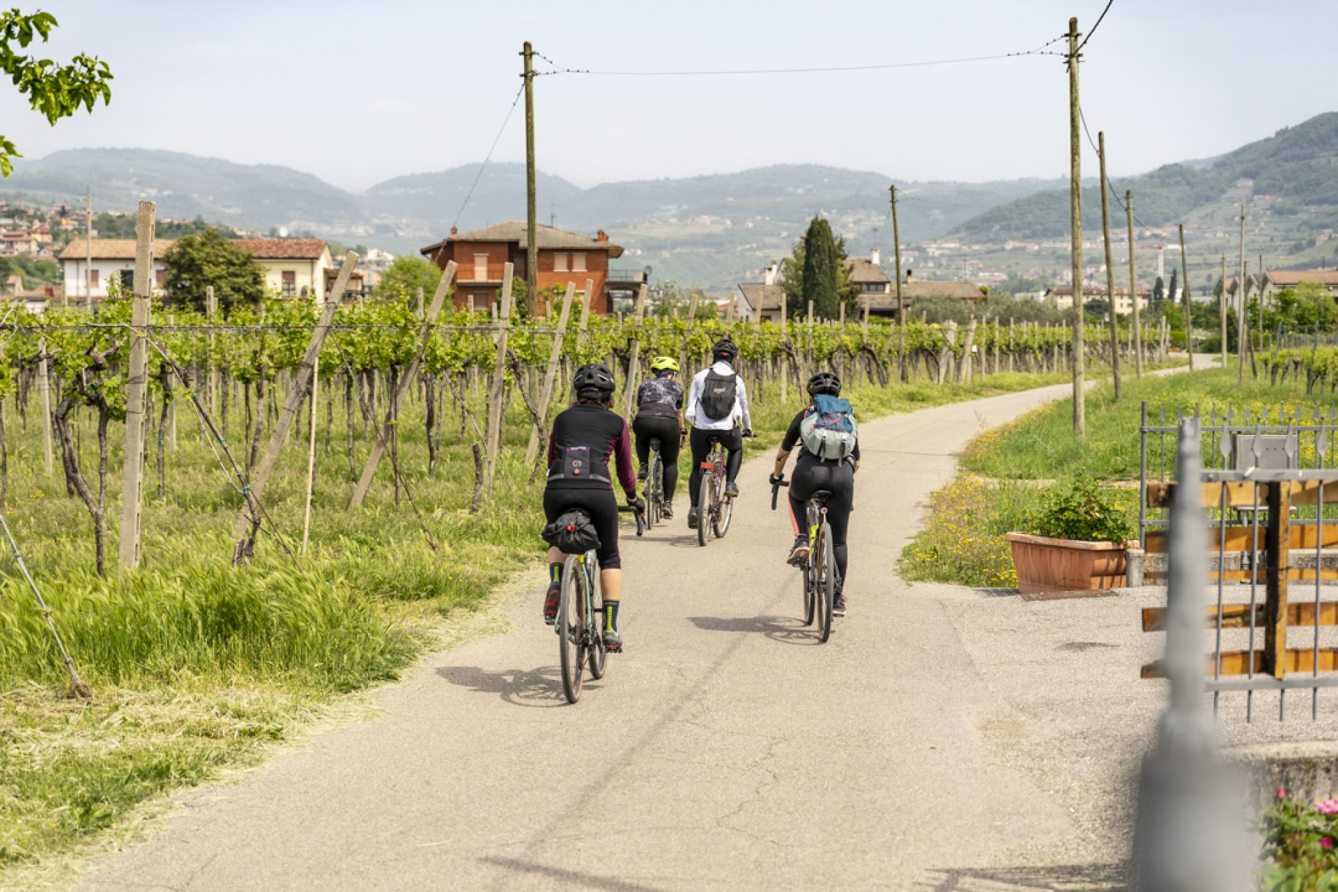
This route connects the settlements in Valpolicella that lie along the river Adige
Parona, today part of the municipality of Verona, was an independent municipality until 1929, the first one in Valpolicella for those coming from the city. Nature lovers can walk, ride or cycle along rhe towpath, the track on the riverbank once used by horses or oxen to tow boats upstream towards Trento.
PESCANTINA, so-calledperhaps because the settlement once had a river port and therefore "fished" (pescava) in the water. Today the name is refferred to the peach (pesca) trees planted extensively and an important economic resource for the area. Once Pescantina was an important hub for trade with the Trento area. Typical river boats, barges and paniciani, were built here.
If you are interested in a local culture, we recommended a visit, in the neighbourhood of Mandella, to the parish church of San Lorenzo Martire, built in 1753 in a Neoclassical style by Alessandro Pompei, enriched by the bell tower more than 80 meters high designed by Giuseppe Barbieri in the first half of the 19th century. San Lorenzo was built on a pre-existing Romanesque church whose remains are still visible on the east side.
Other the riverbank neighbourhoods with interesting artistic features are Settimo, with its villas, Arcè, which has a Romanesque church with frescoes, dedicated toi San Michele and Ponton, home to Villa Nichesola, attribuited in the past to Sanmicheli and more recently to Giulio Romano, with magnificent frescoes of Paolo Farinati.
If you make the journey northwards by car you will reach Volargne, in the municipality of Dolcè.
Here you will find el Bene,a complex divided into several buildings that was completed in 1560. The main entrance, in line with the mooring on the river, is perhaps the work of Michele Sanmicheli. The villa is decorated inside by Domenico Brusasorzi, Gian Francesco Caroto, Nicola Crollalanza and Bernardino India with frescoes extended throughout themain floor.
The territory of Dolcè in this area is characterizied by impressive Austrian fortification, vestiges of the Empire's domination here until 1866. These structures were built between 1849 and 1852 to protect the Brenner route and the access to the Adige valley.
.
The Austrian border barrier of Rivoli-Ceraino consisted of four strongholds Chiusa Veneta and inHlawaty in Ceraino,the Mollinary in Monte di Sant'Ambrogio and, on the right bank, Wohlgemuth di Rivoli.The first three, on the left bank of the Adige, can be reached by the main road towards the Brenner.
The first one is 2km after Volarge, in the spectacular gorge (Chiusa) of Ceraino: the Chiusa Veneta. fort, right next to the eponymous hotel (with parking space). You can visit the ruins, although they are partly covered by vegetation. The Hlawaty and Monte forts are more difficult to reach (only by foot), located along a steep, narrow track of which climbs up the cliffs of the gorge. It starts in the nearby village of Ceraino follow the signs for Forte Hlawaty and Forte Monte.
Photogallery