
Itinerary 9: Colognola ai Colli, Tregnago, Cazzano di Tramigna, Montecchia di Crosara
CASTLES AND CHERRIES
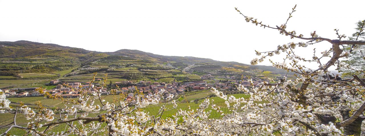
Colognola ai Colli (8505 inhabitants) owes its name to the Latin coloniola, small colony: after 148 B.C., the year the Via Postumia was built, veterans of the eleventh legion Claudia Pia Fedele settled there, creating a Roman vicus. It is located 14 km east of Verona on the provincial road to San Bonifacio and is at the entrance to the Val d'Illasi. It consists of six hamlets: Monte, Villa or Piano, San Zeno, Cadellara-Pieve, Strà and San Vittore.
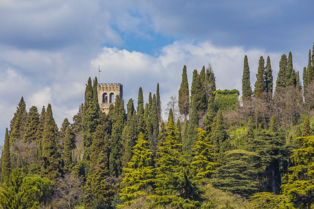
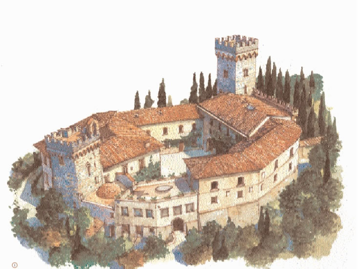
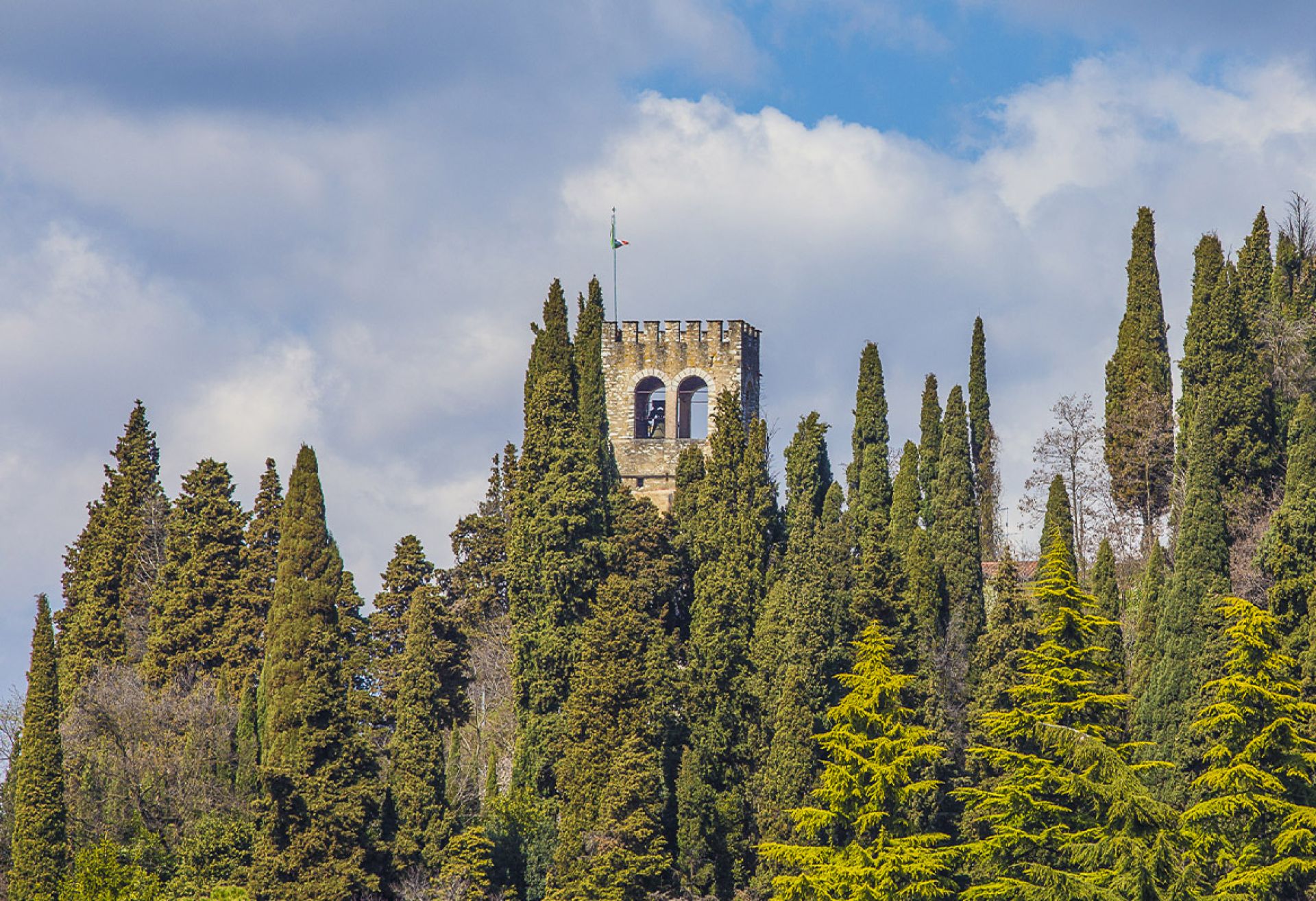
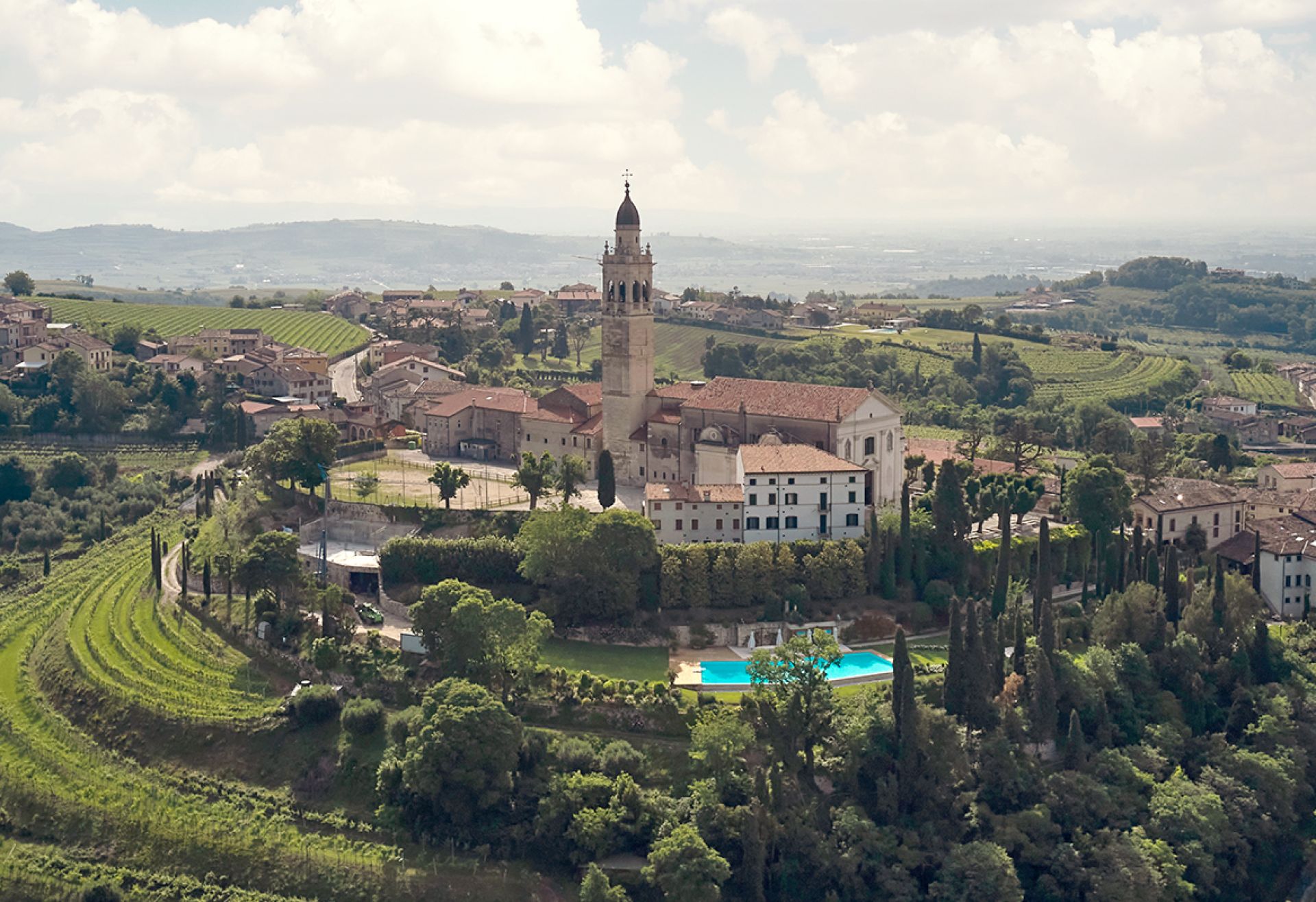
A twenty-minute drive takes you to Tregnago (4902 inhabitants). The town is one of the most important centres of the Val d'Illasi, already inhabited by the Reti (an ancient population originating in the central-eastern Alps) in prehistoric times. The Roman settlement stood along the Cardine Maximus of the ancient centuriazione of the Veronese-Atesine countryside (crossed by the river Adige) and near the Via Postumia that connected Genoa and Aquileia: the toponym Tregnago, in fact, seems to derive from the Latin terminiacus or border. In the Middle Ages a castle was built, mentioned in some documents from 1259, fortified during the Scaligera domination and donated to the municipality by Cangrande Della Scala, Lord of Verona between 1291 and 1329. The building is now in very poor condition, but the entrance gate and some towers are still visible. Also from this period is the Chiesa di San Dionigi, a small Romanesque building renovated in 1369 by Domenico Murar in Gothic style. The small church, which preserves precious frescoes from the 14th century, was originally part of a monastic complex dependent on the monastery of San Zeno in Verona and is now incorporated in Villa Cuzzeri, formerly Erbisti.
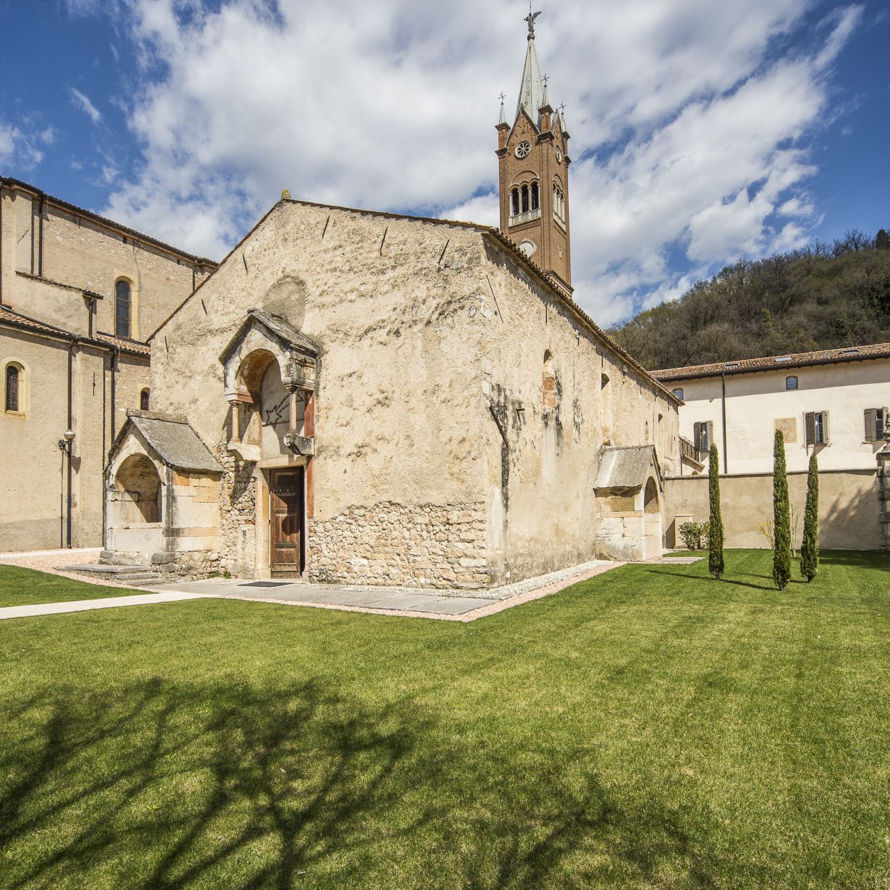
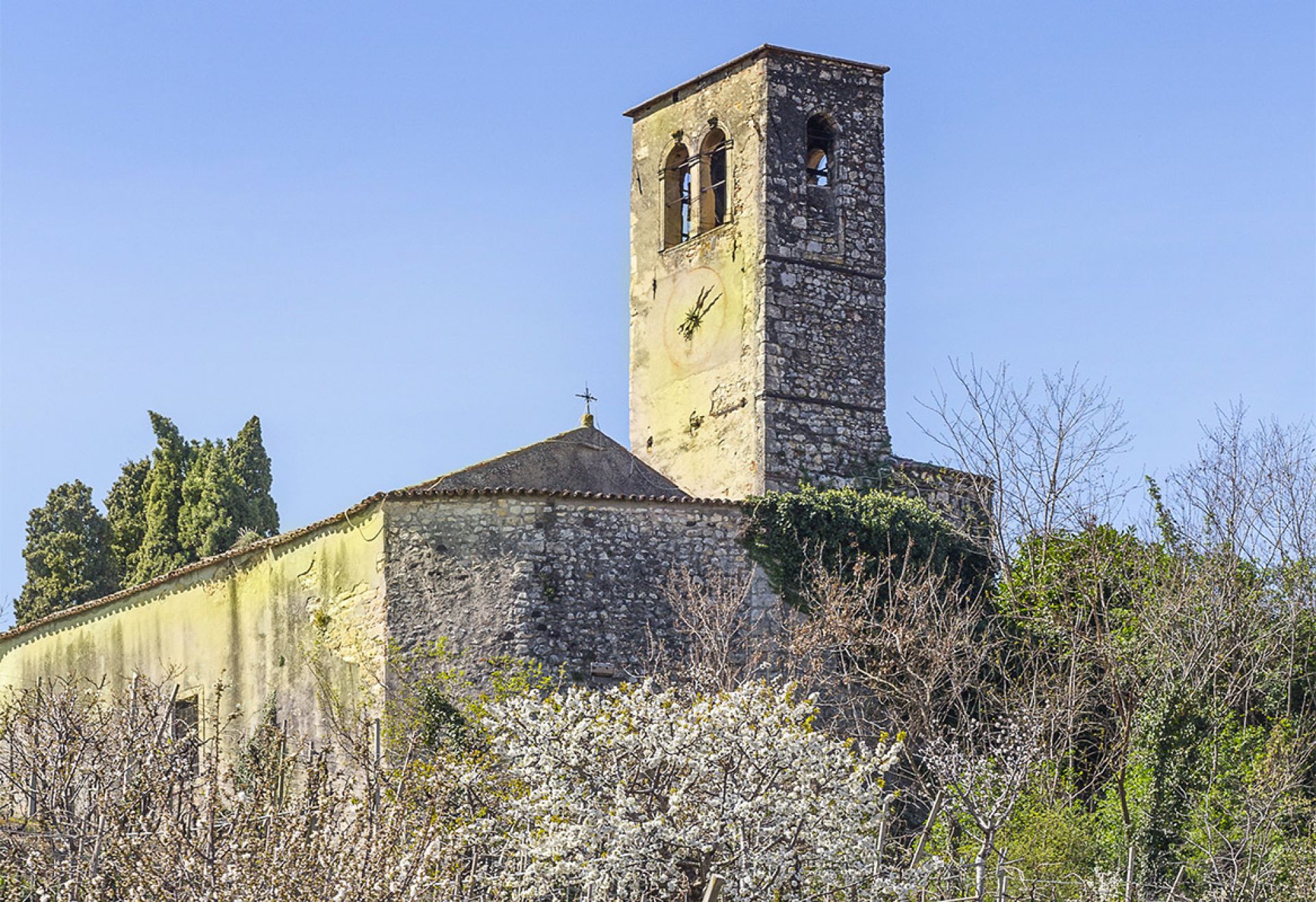
The most unique ecclesiastical building in Tregnago is the Romanesque parish church of San Martino or Chiesa della Disciplina. The exterior is simple and devoid of decorative elements, except for the prothyrum above the portal. Of particular interest are the interior frescoes by the well-known Veronese painter Nicolò Giolfino and a canvas attributed in part to the famous Felice Brusasorzi.
In addition to the religious buildings, in the village you can visit the 18th-century Villa Pellegrini, now the town hall, which houses works by the Veronese artist Andrea Porta. The village still preserves the local stone wash-houses that were used in the past and served as a meeting place. The plant is located near the parish church of Santa Maria Assunta, erected in 1879 to replace the old parish church dedicated to
S. Maria, mentioned in a papal bull by Eugene III in 1145. Others are found in the village in Via Rì, in Marcemigo, in Scorgnano and in Cogollo.
Descending along the 'Strada dei Ciliegi' (Provincial Road 37/a), in a beautiful natural setting, one arrives at Cazzano di Tramigna (1565 inhabitants). The toponym Cazzano could be traced back to the gens (Roman lineage) Cassia. According to other hypotheses, it would derive from gadum, a wooded place for hunting, or from cadianum, a place for mutatio (changing horses) along the Roman road Postumia. Tramigna, on the other hand, is the name of the small stream that springs from a resurgence in the centre of the village.
In Roman times, Cazzano was part of the above-mentioned Atesine ager (territorial extension), as shown by some epigraphs discovered in the area. Places of interest are: the Santuario romanico di San Felice (9th-10th century), which houses numerous frescoes by the master Cicogna and was home to Pope Lucius III in 1185; the Chiesa parrocchiale di San Giorgio Martire, built at the end of the 19th century on a partially preserved pre-existing building; and the chiesa romanica di San Pietro in Brian
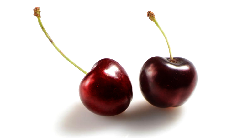
(early 16th century). Finally, those who stop in the square in Cazzano will find a fountain called Lago della Mora, in memory of a particular variety of cherry grown in this area.
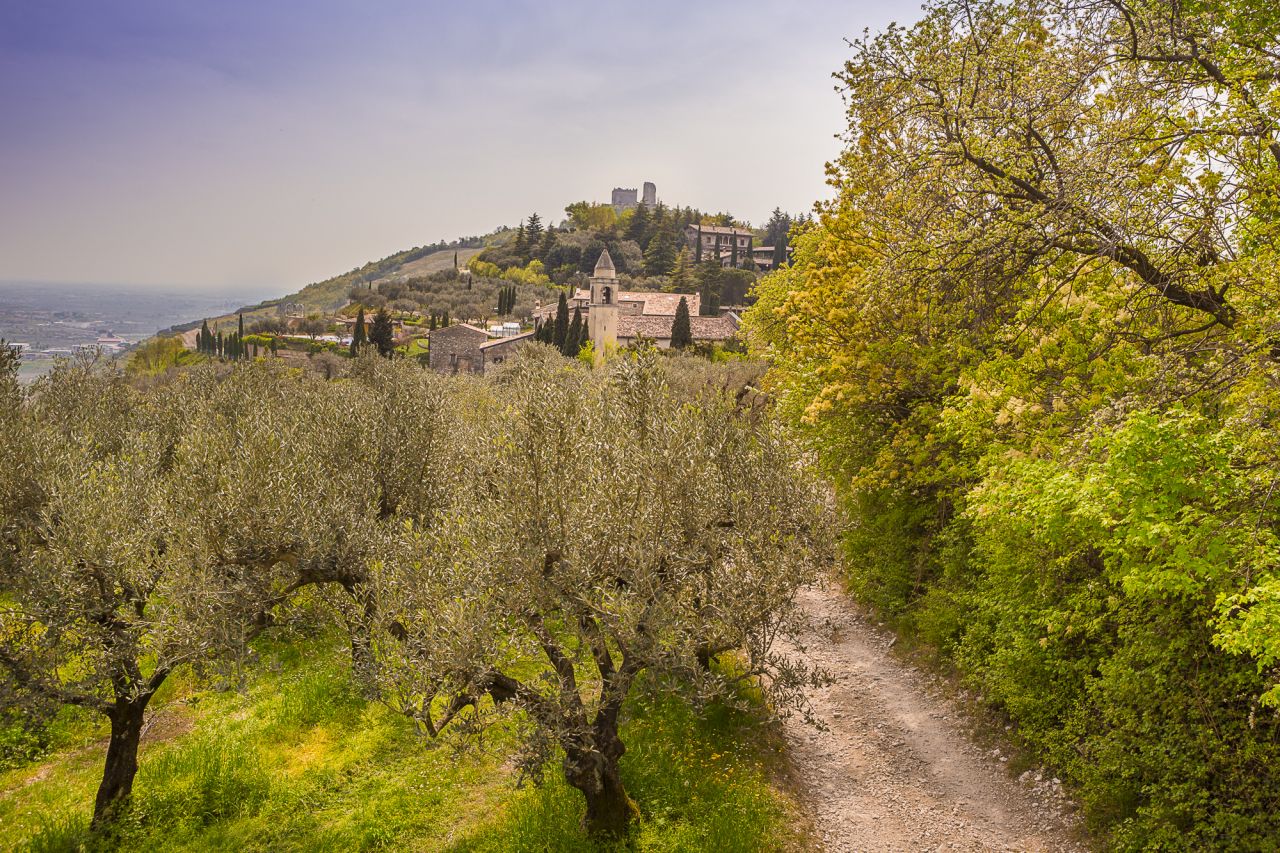
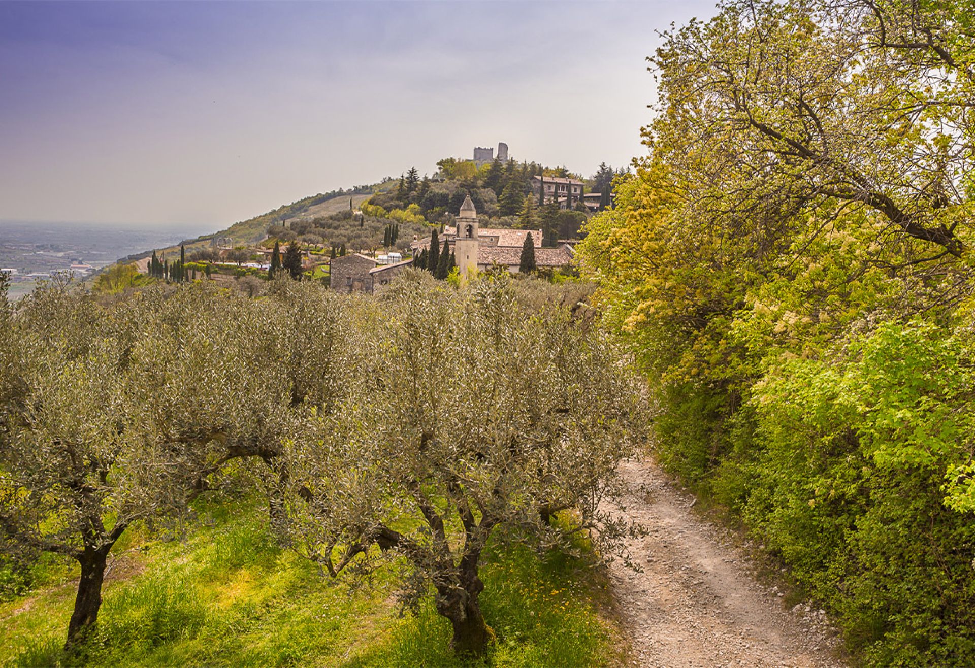
This long route ends in Montecchia di Crosara (4433 inhabitants), which can be reached in less than twenty minutes by car from Cazzano. It is located in the middle of the Valdalpone (from the Alpone river), about 33 km from Verona. It includes the hamlets of Albà re, Castello, Grumolo, Meggiano and Tolotti.
The name Crosara is linked to the geographical position of the village, a crossroads of various roads and the main waterways in the area. From the end of the 10th century, the territory became a fief of the son of Umberto Maltraversi, lord of Padua and Vicenza, later passing to the Scaglieri, lords of Verona in the 12th century.
During the Scaliger period, the town was the scene of violent clashes between Guelphs and Ghibellines and the victim of looting. The castle that protected it was finally demolished by Vinciguerra Bonifacio in 1222. Montecchia was later dominated by the Visconti of Milan and the Serenissima Republic of Venice, becoming an autonomous municipality in 1745.
The architectural jewel of the place is the chiesa di San Salvatore, in the hamlet of Castello, a place-name that refers to the presence of the fortified building built by the Maltraversi in the 10th century. The church, possibly built on the ruins of a pagan temple, was built in the 11th century, but was later heavily altered. Inside are frescoes painted between the 14th and 16th centuries.
Photogallery